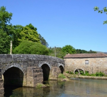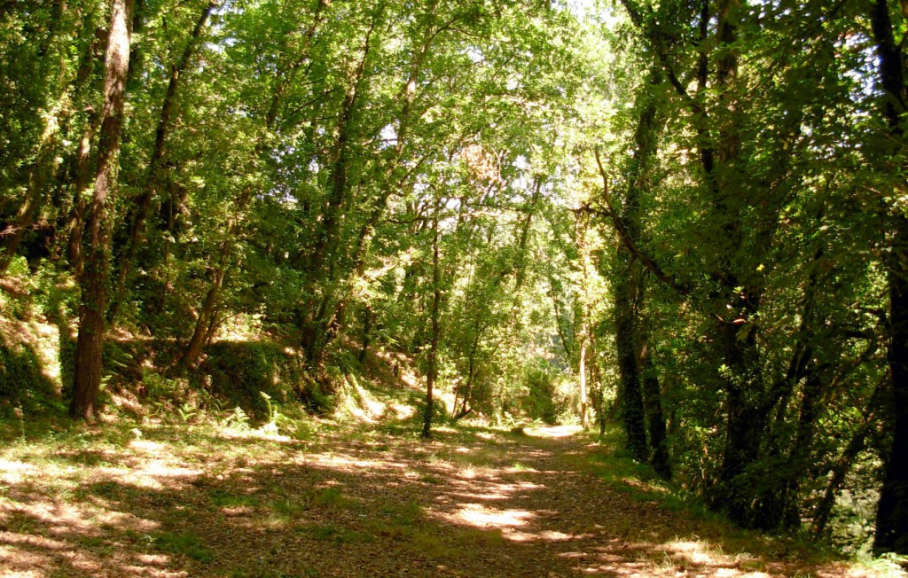


From the slope of the Lajido one can perceive, through the fertile plain gorge of Covas, the landscape progress that is produced from the bottom of the valley until the top of the ridge. In this area, the humanization of the entire territory is clearly represented, and as the slope is climbed we can observe a decrease in the process of occupation. This fact is reflected by the transition of mainly agricultural landscape, that was shaped by alternation of annual crops, to a pasture of livestock, which can be seen on the hilltops of the Serra d’Arga. At the bottom of the valley is the interpretive Trail of Ribeira de Covas, an almost flat path, which follows along the banks of the Coura River and passes through its lush vegetation typical of Atlantic rivers. Along with the beautiful scenery, it is possible to observe a part of a canal that used to direct the water from a small dam to an old hydropower central. It was the second hydropower central to be built in Portugal, a fact which can be interesting for the Industrial Archaeology enthusiasts. The representative fauna of this habitat is mainly comprised of wintering birds and otters, whose prosperity in this place are accredited by the abundant fish of the Coura River.
Location: Vila Nova de Cerveira